
Downloads
DOI:
https://doi.org/10.7480/knob.102.2003.4-5.303Gepubliceerd
Nummer
Sectie
Licentie
Auteursrecht (c) 2003 Elwin Koster

Dit artikel is gelicentieerd onder de Naamsvermelding 4.0 Internationaal licentie.
Citeerhulp
Samenvatting
The article focuses on the proposition that in the military architecture of the early seventeenth century it is not only mathematics that plays an important part in the planning and layout of the fortifications. The site, the existing infrastructure and cost-reducing measures also play important and even decisive roles.
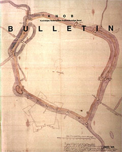
This proposition is defended on the basis of the analysis of the layout of the new fortifications around the town of Groningen as they were planned and built in the first quarter of the seventeenth century. The first part describes the planning process, the discussions between the Frisian stadtholder Willem-Lodewijk, prince Maurits, the States General and the town councilors of Groningen. In addition, a number of alternative plans are brought up: Johan van Valckenburg, Hindrick van der Merwede and Garwer Peters.
In the second part a reconstruction follows of the variables that the planners had to take into account. This chiefly concerns differences in height occurring on the site. This assumption is supported by the discovery of three cartographic documents from various collections.
In the fourth part the form plays an important part. How large should the town become, and what was feasible within the scope of the theory and practice of fortress building? The distance between the bastions is relatively fixed, but this is also the case with the exit roads from the existing town. Choices had to be made, but which? The eventual, reconstructed form of Groningen is surprising: the ellipse.
The next phase in the total planning process was the financing. The town would become larger, and not everyone is pleased with this. Nevertheless, also through investments in large-scale projects in the peat districts, but especially through the support of the States General, the town managed to arrange the financing.
The article shows the complex planning process, including a number of decisions that were not taken on the basis of the theory of fortress building, but on the basis of the practical experience of the ‘man in the field’. Was it a well-considered concept or a question of ad hoc adjustments made later on?